
In Stock
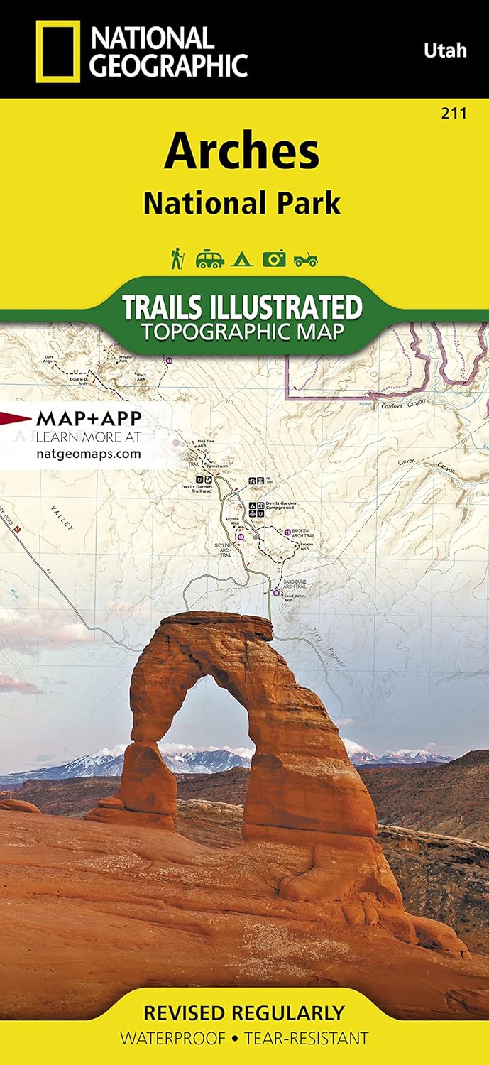
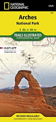
**Arches National Park Map (National Geographic Trails Illustrated Map, 211)**
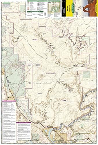
Explore the stunning landscapes of Arches National Park with the National Geographic Trails Illustrated Map, designed for outdoor enthusiasts and adventure seekers alike. This expertly crafted map provides detailed topographic information, allowing you to navigate the park’s iconic arches, stunning vistas, and winding trails with ease.
**Key Features:**
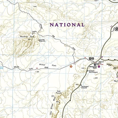
– **Detailed Topographic Information:** With a scale of 1:25,000, this map highlights elevation changes and provides accurate contours, making it an essential tool for hiking, biking, and exploring.
– **Comprehensive Trail Information:** Featuring well-marked trails, this map includes mileage, difficulty levels, and trailheads to help you plan your perfect outdoor adventure.
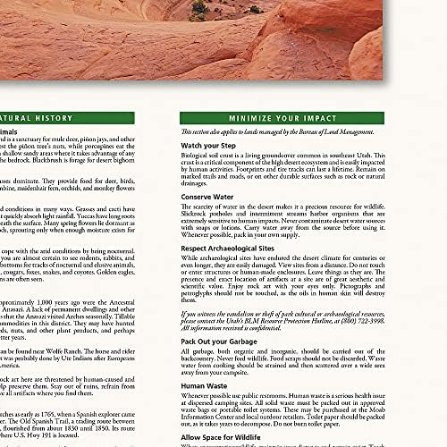
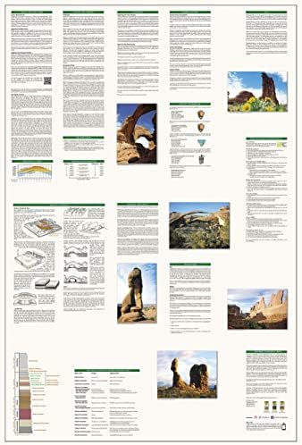
– **Points of Interest:** Discover the park’s most famous landmarks, including Delicate Arch, Landscape Arch, and the Fiery Furnace, all while benefiting from informative descriptions and tips for visiting.
– **Waterproof and Tear-Resistant:** Constructed from durable, weather-resistant materials, this map is built to withstand the elements, ensuring it stays intact through all your adventures.
– **Local Insights:** Benefit from detailed insets that offer additional information on nearby attractions, facilities, and essential visitor services, making your trip planning a breeze.
Whether you’re a seasoned hiker or a casual visitor, the Arches National Park Map (National Geographic Trails Illustrated Map, 211) is your ultimate companion for discovering the breathtaking beauty of one of America’s most treasured national parks. Don’t just visit—experience Arches like never before!
**Order your map today and start planning your adventure in Arches National Park!**
Copyright © marketpulse.bulkweb.io All rights reserved
